
What it is
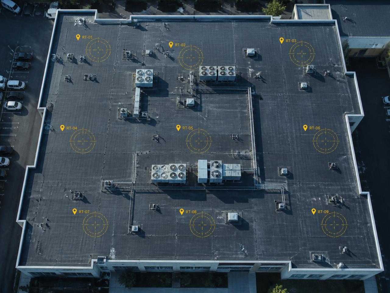
A rapid aerial capture of the affected property or site, covering the full extent of visible damage rather than a few sampled angles, timestamped and organized so it can be reviewed later by anyone who needs to see it.
Incident & Storm Documentation
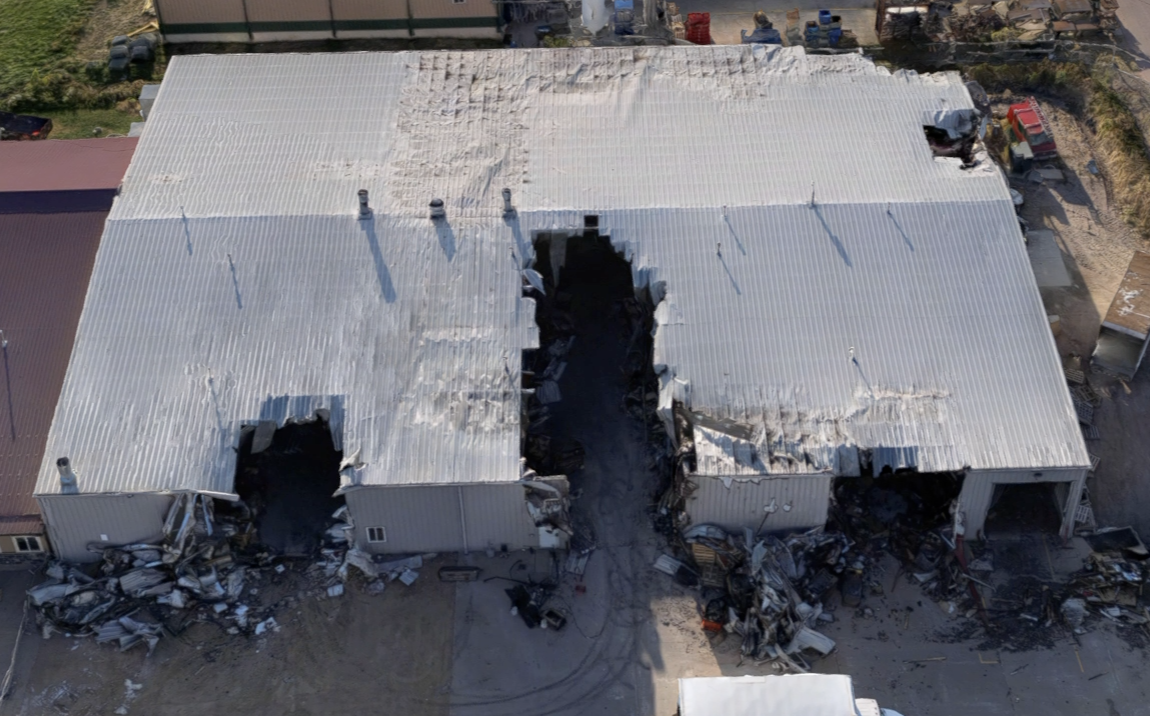
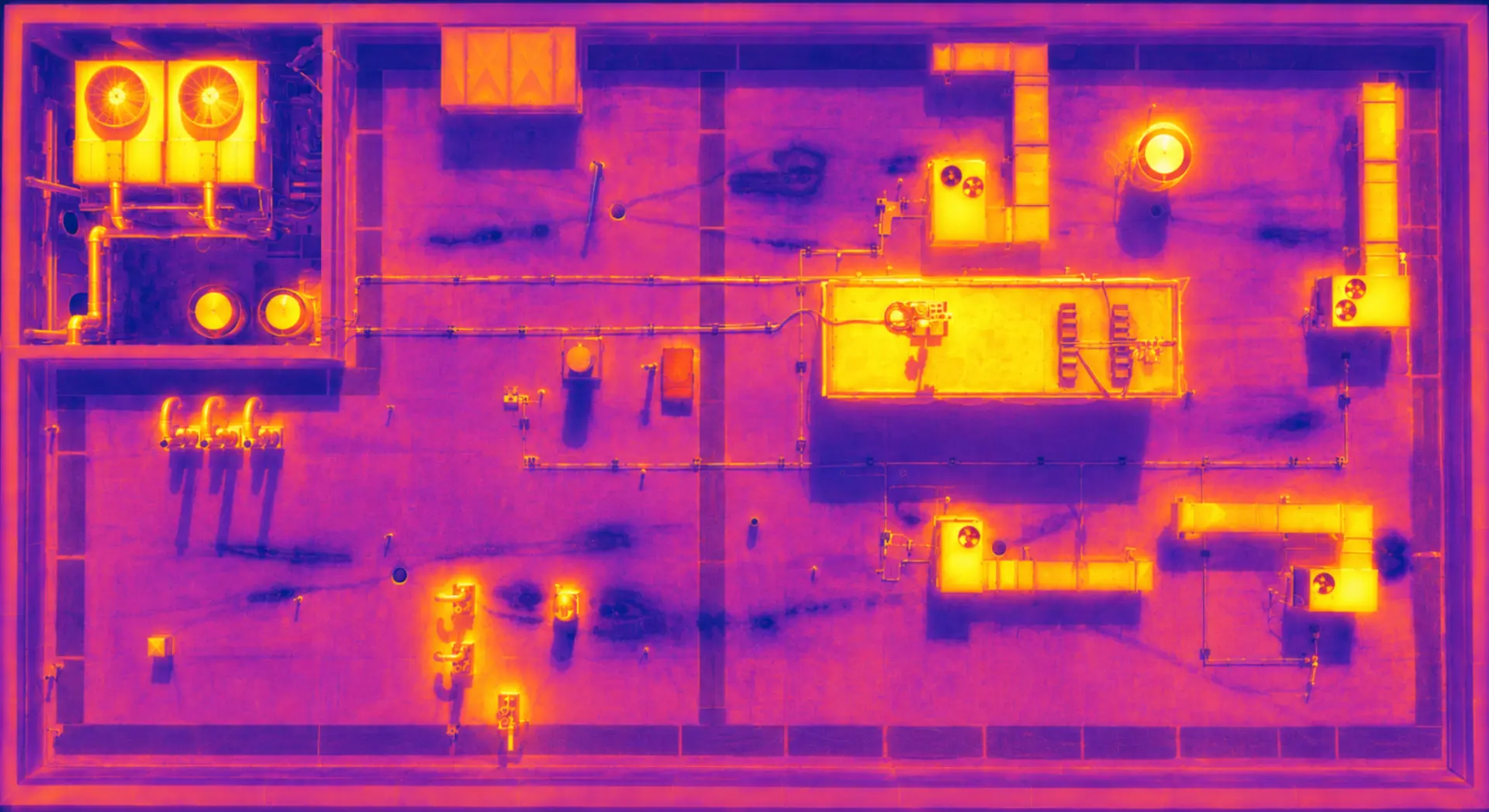
Incident documentation is aerial visual and thermal capture of a property immediately after a storm or other event — a dated, independent record of what the damage actually looked like, before cleanup or repairs change the scene.
A rapid aerial capture of the affected property or site, covering the full extent of visible damage rather than a few sampled angles, timestamped and organized so it can be reviewed later by anyone who needs to see it.
Repair planning, ownership updates, and insurance conversations all move faster when there's a clear, independent record of the damage rather than competing descriptions of what happened. Scanware documents the condition — it doesn't adjust claims, determine cause, or make coverage decisions.
Examples
FAQ
No. Scanware provides visual and thermal documentation of the damage — the claim, adjustment, and coverage decision stay with the carrier and adjuster.
As soon as it's safe to fly and access allows — the goal is capturing the scene before conditions or cleanup change what's visible.
Get a clearer view
Tell us about the property, portfolio, or inspection challenge your team is facing. We'll discuss how Scanware can help solve it.