
What it is
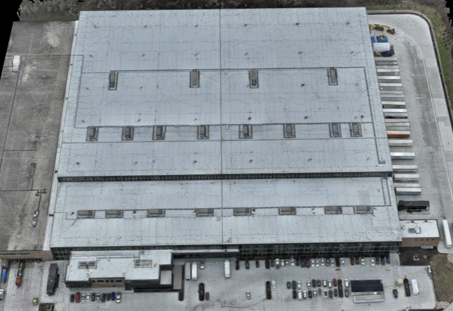
A LiDAR-equipped drone captures a dense field of measured points across the property rather than a flat photo. Each point ties to a real location, so two scans of the same site can be compared directly instead of eyeballed side by side.
LiDAR Scanning & 3D Imaging
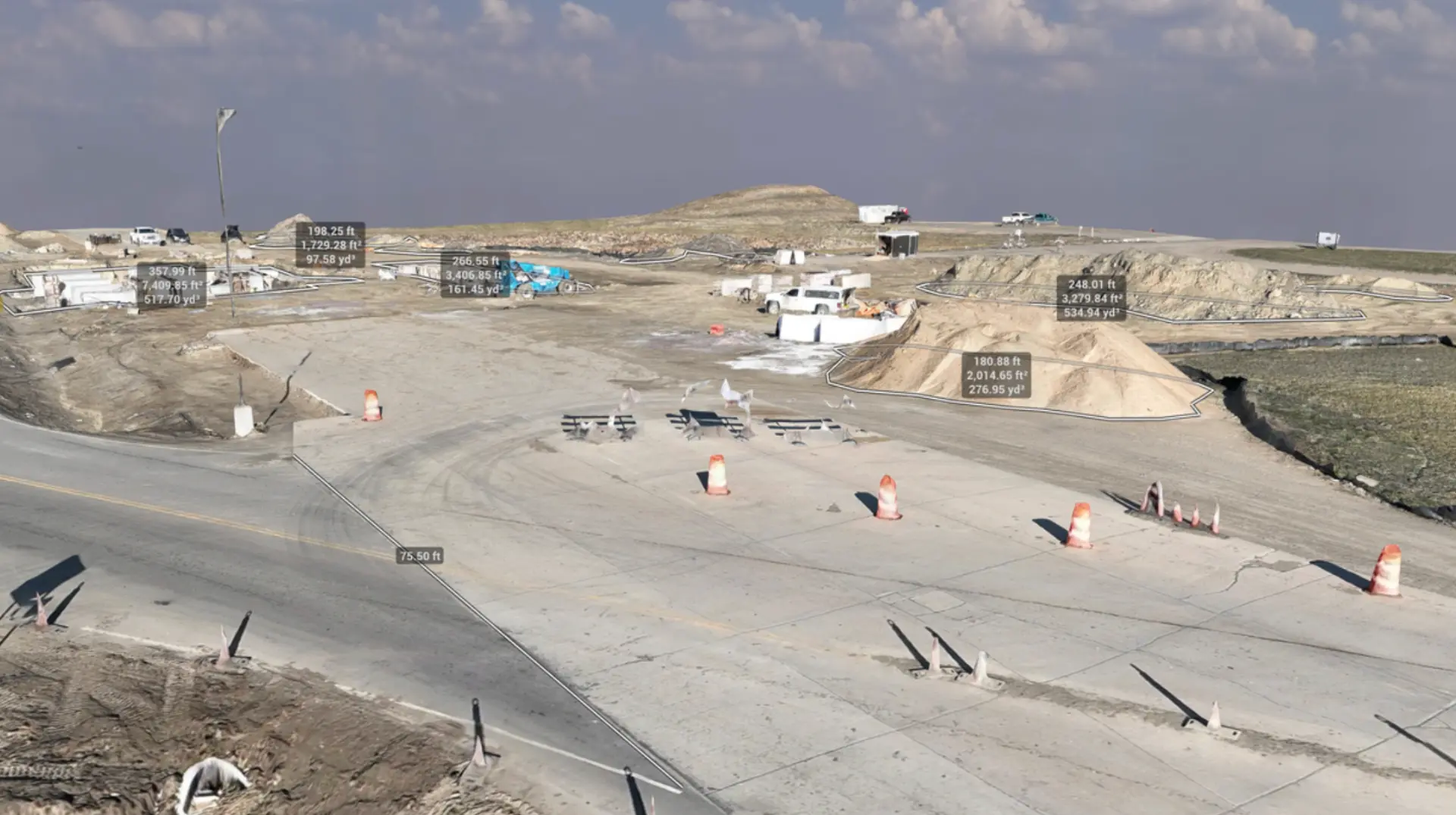
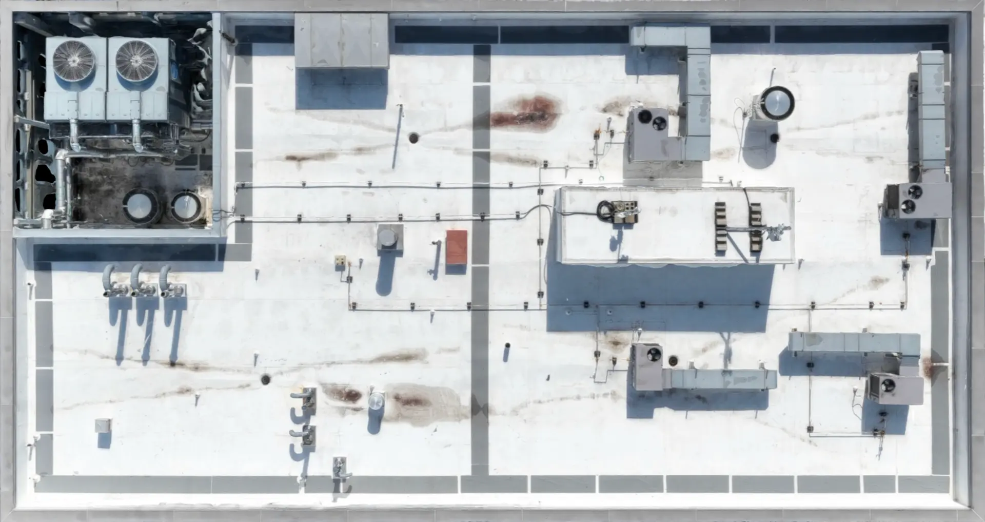
LiDAR scanning uses laser-based aerial capture to build a 3D model of a roof, facade, or site. Because every scan measures the same points the same way, one visit can be lined up against the next — showing real change, not just an impression of it.
A LiDAR-equipped drone captures a dense field of measured points across the property rather than a flat photo. Each point ties to a real location, so two scans of the same site can be compared directly instead of eyeballed side by side.
A model like this is what lets a repair claim, a progress check, or a capital decision start from something measured rather than remembered. It's also what makes "compare this visit to the last one" possible in the first place — a single photo can't do that on its own.
Examples
FAQ
No. It documents visible surface geometry and detail — it isn't a substitute for a licensed land survey or engineering-grade measurement.
It depends on what you're tracking — a one-time baseline, or a recurring schedule to measure change over time.
Get a clearer view
Tell us about the property, portfolio, or inspection challenge your team is facing. We'll discuss how Scanware can help solve it.