01
Faster capture
Less time than a manual walk
CONSTRUCTION
Scanware captures your site on a consistent schedule — visual, thermal, and spatial — so progress and conditions are on record before anyone has to take someone's word for it. That record works for you as much as it works for whoever's watching the schedule.
WHY CONSTRUCTION COMPANIES USE IT
Disputes over schedule and scope cost real money to resolve. Scanware keeps a documented record on your side of the conversation, not just the owner's.
Less time than a manual walk
Independent evidence, not just yours
Progress measured against plan
Same record for every stakeholder
WHAT YOU GET
Services and deliverables tailored to your site and your schedule.
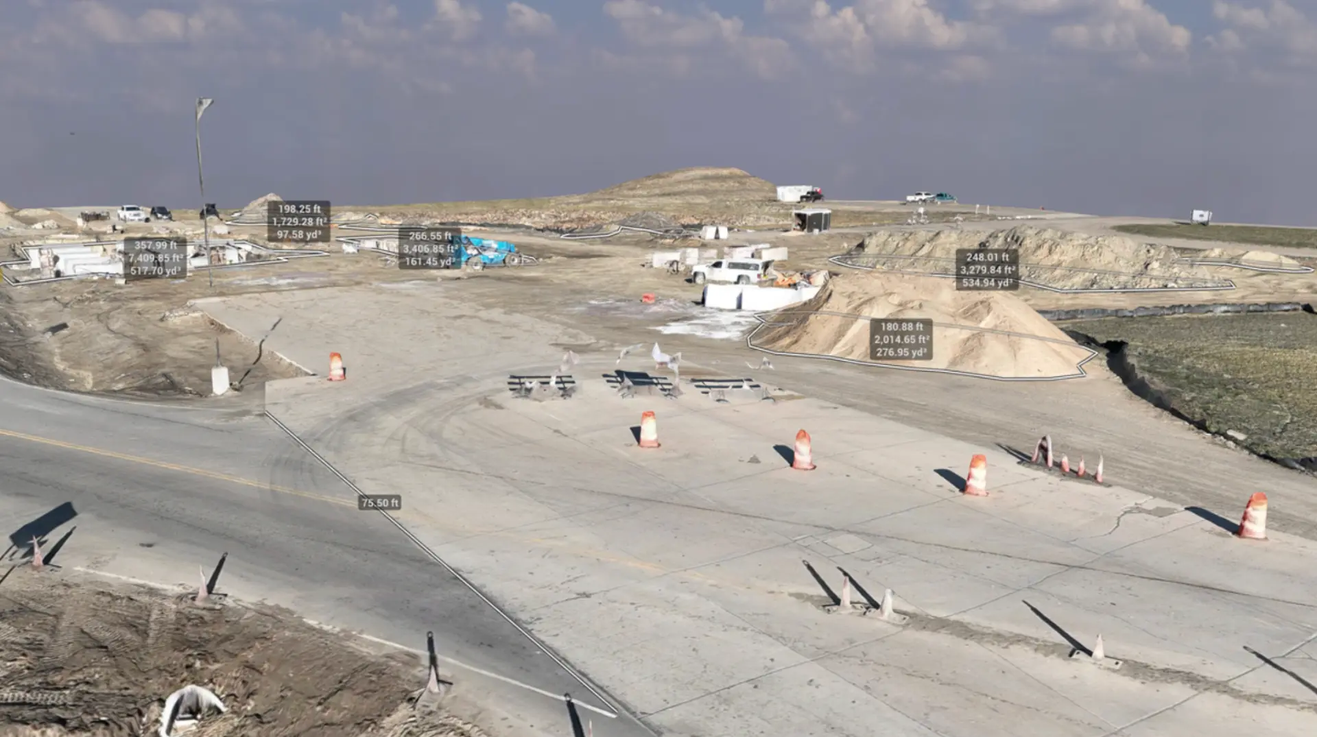
Deliverable / 01
Match the exact same point on your site, visit after visit — so progress is measured precisely, not eyeballed.
Why it's useful: A precise, repeatable record of what was actually built and when — the kind of evidence that settles a disagreement in a conversation instead of an arbitration.
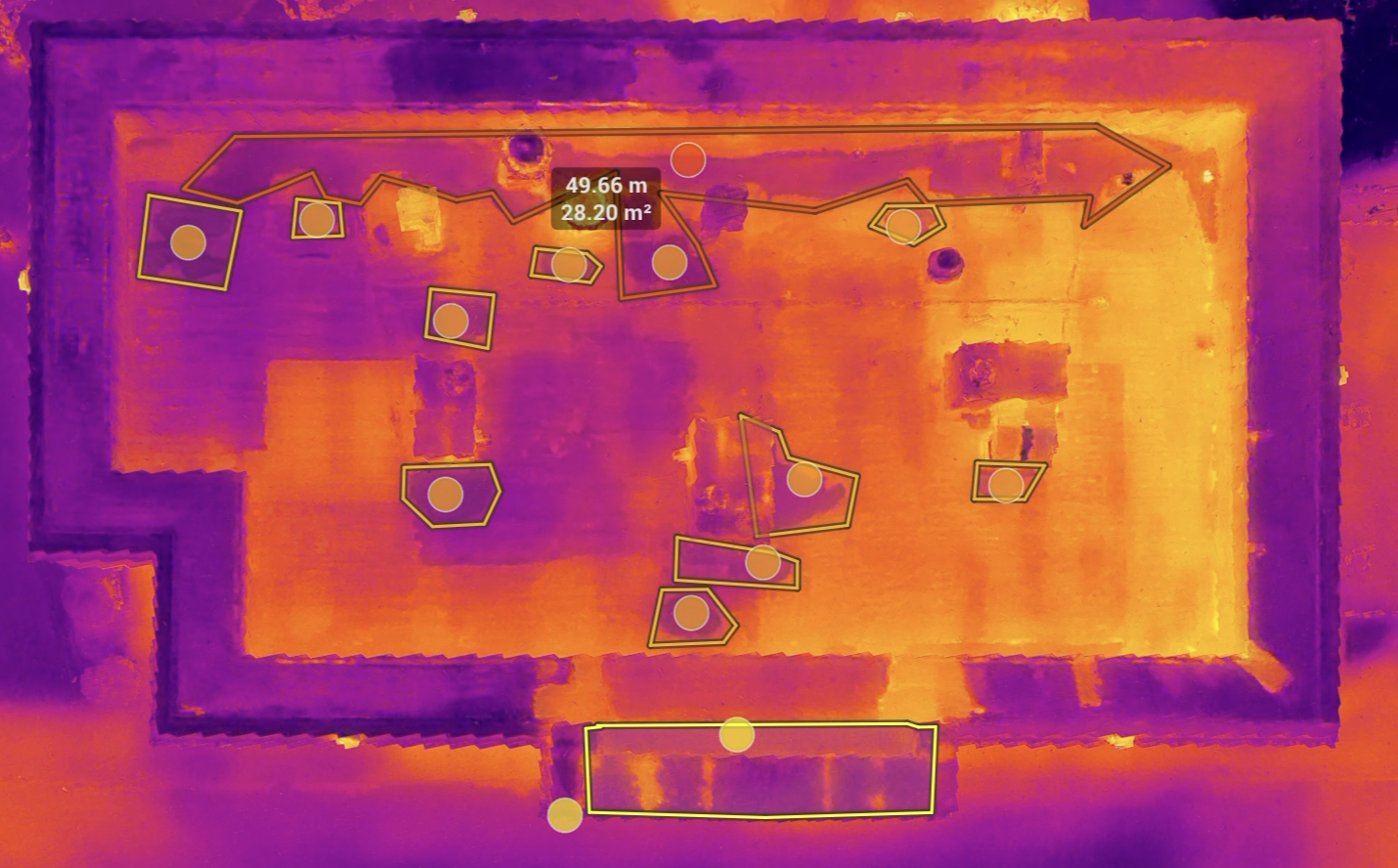
Deliverable / 02
Thermal imaging of the building envelope and MEP work, supported by Level 2 thermography experience, with anomalies pinned and categorized.
Why it's useful: Temperature anomalies can be worth a closer look before drywall closes — catching something early protects the schedule and gives you a documented record of what the work looked like when it left your hands.
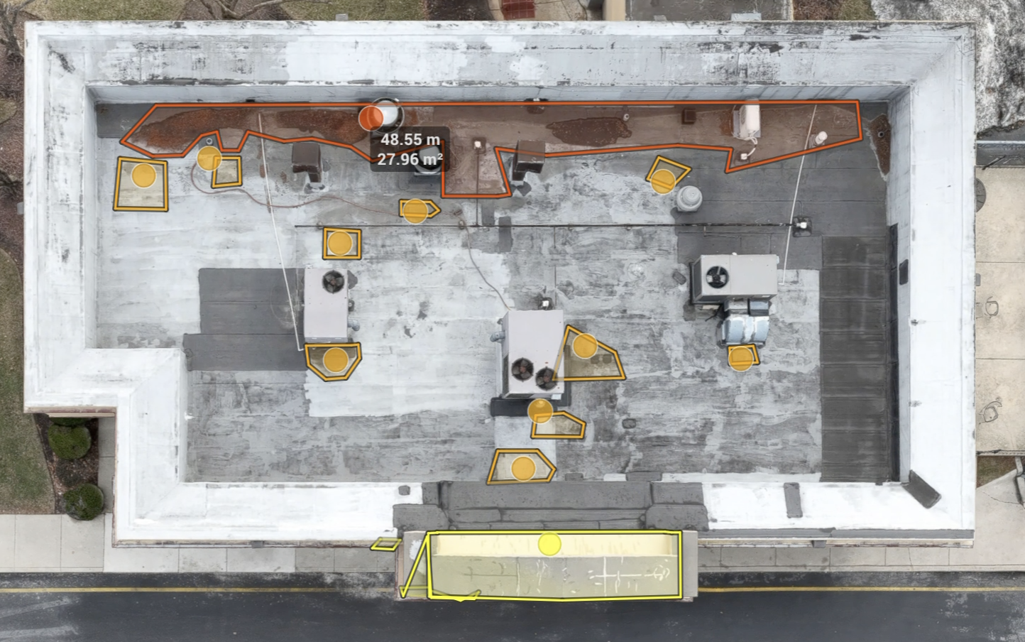
Deliverable / 03
When you work with Scanware, you don't just get a report you can't control. You get access to our platform with all the digital files and renderings, stored securely on our on-prem servers.
Why it's useful: Your own copy of the same evidence everyone else on the project is looking at — no waiting on someone else's report to confirm what was already there.
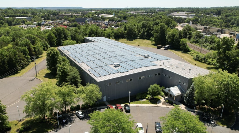
Deliverable / 04
Professionally edited stills, video, or timelapse — for marketing content or lightweight documentation of a project's progress.
Why it's useful: Footage you control, for your own marketing team or for showing a client exactly how the build progressed.
FAQ
Scanware's documentation is captured and maintained independent of any single project party, on a consistent schedule, so the record holds up the same way regardless of who's asking — the owner, the GC, or a future buyer of the finished asset.
No. It's meant to sit alongside them — an independent layer that backs up what your own team is already documenting, not a replacement for it.
The captures and models can be shared into most existing workflows. We'll confirm the specific fit for your tools during scoping.
Most exterior and site-level capture doesn't require disrupting active work. Interior or close-proximity capture is scheduled around your site's access and safety requirements.
No. Scanware provides visual, thermal, and spatial documentation — not licensed engineering opinions, land surveying, or survey-grade measurements.
Related
Scanware provides visual, thermal, and spatial documentation. It does not provide licensed engineering opinions, adjusting services, or coverage determinations. Scanware does not perform land surveying or provide survey-grade measurements.
GET A CLEARER VIEW
Tell us about the project, phase, or documentation gap your team is facing. We'll discuss how Scanware can help.